
When Peaks Seem to Sail Across the Sky
Mountains appear to float above the clouds when low clouds or fog fill the valleys while the summits rise into clear air. This striking “sea of clouds” is usually created by a temperature inversion, in which warmer air sits above colder, moisture-rich air and prevents it from rising or dispersing.
Seen from a summit, the cloud layer can look remarkably solid. Ridges become islands, distant peaks resemble ships, and the landscape below disappears beneath a bright white surface. Yet nothing supernatural is happening—the spectacle is the visible result of temperature, moisture, pressure, and terrain interacting in just the right way.
The Atmosphere’s Normal Temperature Pattern
Under ordinary conditions, air temperature decreases with altitude in the lowest part of the atmosphere. The ground absorbs solar energy and warms the air immediately above it. As that air rises into lower atmospheric pressure, it expands and cools.
This is why mountain summits are generally colder than nearby valleys. Although local conditions vary, travelers climbing to higher elevations usually experience a noticeable temperature drop.
A temperature inversion reverses that familiar pattern. Instead of becoming steadily colder with height, the atmosphere contains a layer in which temperature increases as altitude increases. According to the Met Office’s explanation of temperature inversions, the warmer layer acts like a lid because the colder, denser air underneath cannot easily rise through it.
How a Cloud Inversion Forms
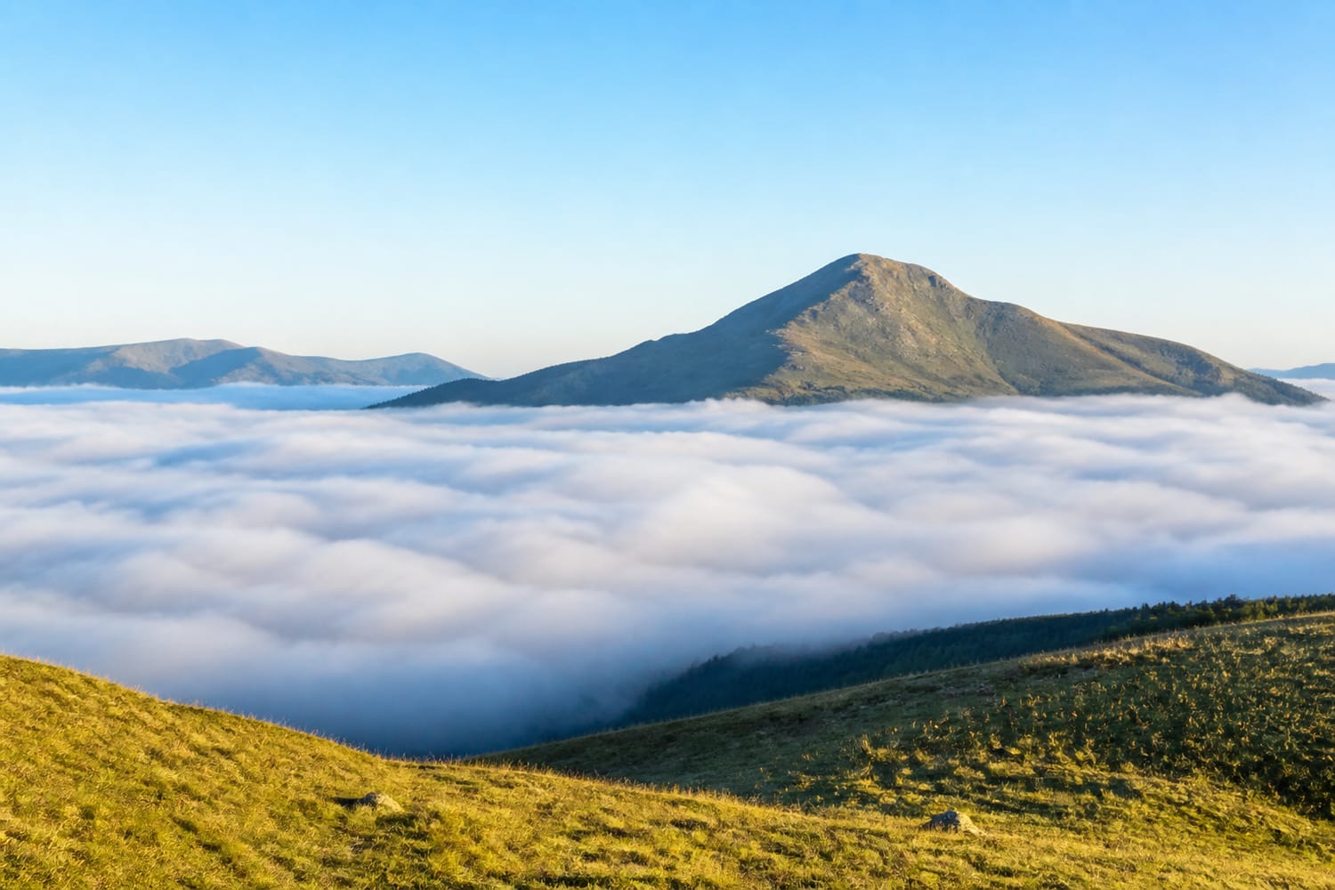
“Cloud inversion” is a popular name for the scenic effect, but the underlying event is a temperature inversion. Clouds appear when the trapped lower air contains enough moisture to become saturated.
The process often begins after sunset. On a calm, clear night, the ground rapidly loses heat. Air touching the cold surface also cools, becoming denser and settling into valleys, hollows, and basins.
If that air cools to its dew point—the temperature at which it becomes saturated—water vapor condenses around microscopic particles. Countless tiny droplets then produce fog or low stratus cloud.
Meanwhile, warmer air remains overhead. With little wind to mix the layers, the inversion keeps the cold, damp air trapped near the surface. The result is a remarkably level cloud deck with clear, dry air above it.
Several ingredients make this more likely:
- Clear skies that allow rapid nighttime cooling
- Light winds that do not mix the atmosphere
- Moist air near the ground
- Valleys or basins where cold air can collect
- High pressure that encourages stable conditions
- A summit tall enough to rise above the inversion layer
Not every inversion creates clouds. If the trapped air is too dry, it may produce only haze or reduced visibility. Likewise, an inversion can form above the summit, leaving hikers inside the cloud rather than above it.
Why Mountains Look Like They Are Floating
The floating effect is partly atmospheric science and partly visual perception. A deep cloud layer hides the lower slopes, foothills, roads, forests, and valleys that normally connect a summit to the surrounding landscape.
With the mountain’s base concealed, the brain loses its usual depth and distance clues. Only the upper rock faces or snowy peaks remain visible, making them appear detached from the Earth.
Sunlight strengthens the illusion. From above, the tops of the clouds reflect large amounts of light and may look smooth, luminous, and almost ocean-like. From below, the same layer can appear gray, dim, and oppressive. Two people separated by a relatively small vertical distance may therefore experience completely different days—one beneath gloomy fog and another in brilliant sunshine.
Why Valleys Are Perfect Cloud Traps
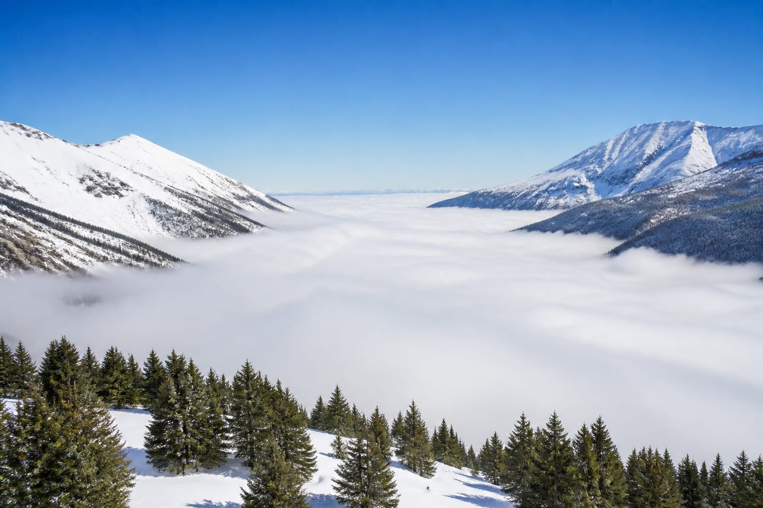
Mountain valleys encourage inversions because cold air behaves somewhat like water: it flows downhill and settles in low places. This movement is known as cold-air drainage.
Long winter nights give the ground more time to cool, while a low sun may provide too little energy to break up the cold pool the following morning. Snow-covered surfaces can strengthen the cooling because snow reflects much of the incoming sunlight.
Valleys also shelter the lower atmosphere from stronger winds. Without turbulence to stir cold and warm air together, the inversion may persist for hours or even days. NASA documented this pattern in the Rocky Mountains, where high pressure and clear skies contributed to inversions that filled river valleys with cloud and fog.
Mountain terrain can shape weather in other dramatic ways, too. Tour Trivia’s guide to natural wonders that create their own weather explores how elevation, slopes, and enormous landforms influence rain, wind, and local temperature patterns.
Where Cloud Inversions Commonly Occur
Cloud inversions can develop in mountainous regions around the world. They are especially memorable in places with deep valleys and easily accessible viewpoints, including the Alps, the Himalayas, the Rocky Mountains, the Scottish Highlands, and the mountains of Japan.
They also occur around volcanic islands. On high islands such as Hawaiʻi or the Canaries, moist marine air can become trapped below a warmer, drier layer. Tall volcanic summits then rise above the clouds into clear conditions.
The phenomenon is not limited to extremely high peaks. A modest hill may stand above an inversion when the cold layer is shallow. Conversely, even a major summit can disappear if the clouds extend high enough.
Travelers searching for suitably dramatic terrain can find inspiration among these breathtaking mountain ranges, although catching an inversion requires both favorable geography and fortunate timing.
When You Are Most Likely to See One
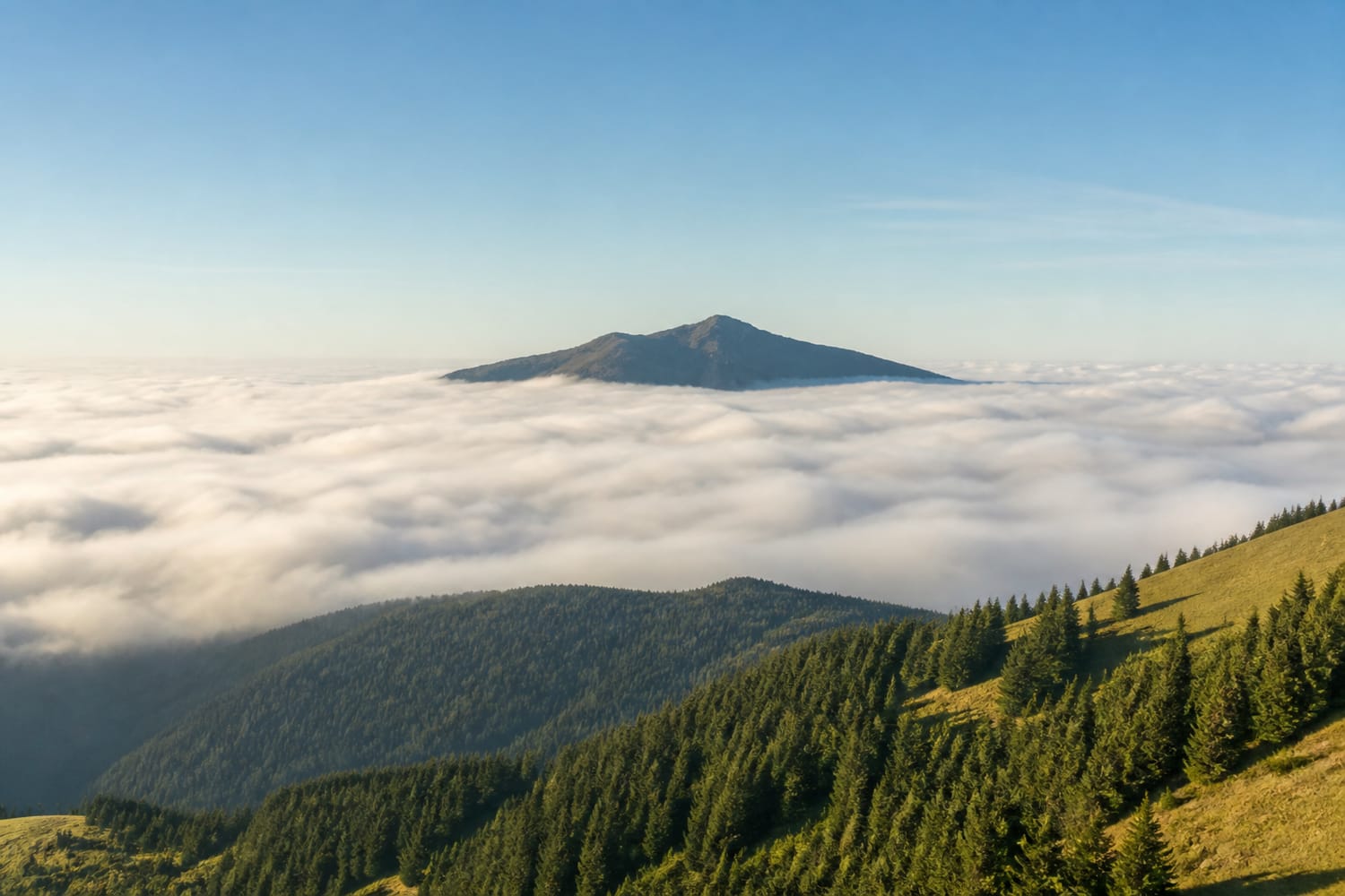
Cloud inversions are often associated with autumn and winter, when nights are longer and the ground can cool substantially before sunrise. They may occur at any time of year, however, especially during stable periods of high pressure.
Early morning is usually the best viewing time. An inversion that forms overnight may begin weakening after sunrise as the ground warms. Rising bubbles of warmer air gradually mix the lower atmosphere, causing the fog to lift, fragment, or evaporate.
Before planning a summit visit, look for a forecast that suggests:
- High pressure and settled weather
- Low wind speeds at valley level
- High humidity or fog in low areas
- Clearer, drier air at summit elevation
- Cloud tops below the intended viewpoint
Mountain forecasts are more useful than general city forecasts because conditions can differ dramatically with elevation. Webcams in nearby valleys and on high ridges can also reveal whether the cloud top lies below, at, or above your destination.
The Hidden Risks Beneath the Beauty
A cloud inversion may look peaceful from above, but conditions inside it can be cold, wet, and disorienting. Fog can hide trail markers, cliffs, ice, traffic, and other hazards. Temperatures may also be lower in the valley than at higher elevations, increasing the possibility of frost or slippery roads.
Inversions can trap more than moisture. Smoke, exhaust, dust, and other pollutants may accumulate beneath the warm layer because vertical air movement is restricted. NOAA notes that inversions can inhibit mixing and hold airborne particles close to the surface.
Anyone heading into the mountains should carry appropriate clothing, navigation equipment, water, and emergency supplies. A spectacular forecast never replaces preparation, particularly when the route begins in dense fog or winter darkness.
A Perfect Meeting of Science and Wonder
Floating mountains are a reminder that the atmosphere has structure. Air does not always mix freely, temperatures do not always decrease neatly with height, and cloudy weather below does not guarantee cloudy weather above.
When cold, moist air settles into a valley and warmer air caps it, the landscape can transform overnight. For those lucky enough to reach the clear layer, the reward is one of nature’s greatest illusions: solid mountains seemingly suspended above a silent white ocean.