
When Downstream Changes Direction
Rivers usually follow gravity toward lakes, seas, and oceans, but “downstream” is not always permanent. Tides, storms, floods, earthquakes, glaciers, and tectonic shifts can alter the balance of water levels and land elevations. Some reversals last only minutes, while others reshape an entire drainage system for millions of years.
Rivers Follow Pressure as Well as Gravity
The basic rule of river flow seems simple: water travels downhill. Yet the direction of flow is actually determined by the water-surface gradient—the difference in elevation and pressure between one part of a channel and another.
If water rises rapidly at a river’s mouth, the usual slope can flatten or temporarily tilt upstream. If an earthquake changes the riverbed, or a glacier blocks one outlet and opens another, the long-term gradient may change completely.
River reversals generally fall into three categories:
- Cyclical reversals, caused regularly by tides or seasons
- Temporary reversals, triggered by storms, floods, wind, or earthquakes
- Permanent reversals, created by lasting geological or human-made changes
The scale also matters. A reversal may affect only a short stretch near an estuary rather than sending an entire river back toward its source.
Tides That Push Rivers Inland
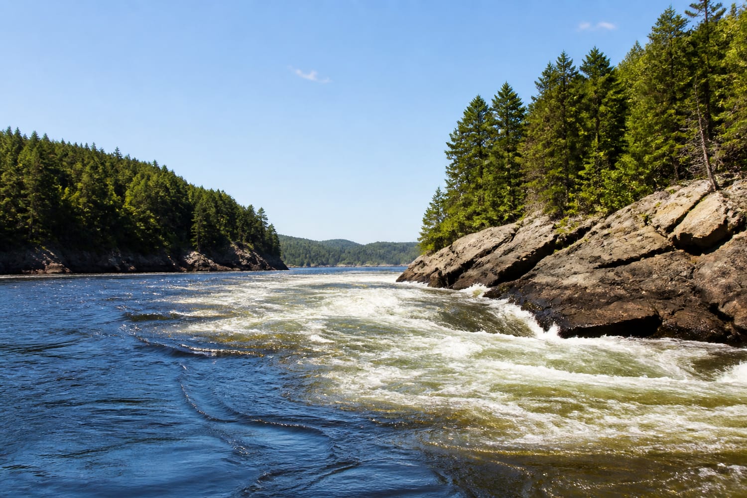
Tides produce the world’s most predictable river reversals. As an ocean tide rises, seawater moves into bays and estuaries, sometimes raising the water at a river mouth faster than freshwater can escape. The resulting tidal current can travel upstream until the tide turns again.
One of the most dramatic examples occurs on the Saint John River in New Brunswick, Canada. Near its meeting point with the Bay of Fundy, the river passes through a narrow, rocky gorge. At low tide, river water rushes toward the bay, creating rapids and whirlpools.
As the enormous Fundy tide rises, the current slows. For a brief interval known as slack tide, the water may appear almost still. The bay then becomes high enough to force water inland, reversing the current and forming rapids that face the opposite direction.
Tidal bores create an even more visible version of this process. Instead of a gradual change, the incoming tide forms a wave or wall of water that rolls upstream. These bores appear in rivers including China’s Qiantang, England’s Severn, and Brazil’s Amazon system.
Storm Surges Overpowering the Current
A hurricane can push a vast mound of seawater toward the coast. When that storm surge enters an estuary or delta, it may overwhelm the river’s normal discharge and force the current upstream.
Hurricane Ida demonstrated this effect after making landfall in Louisiana on August 29, 2021. A NOAA current meter in New Orleans recorded the storm surge briefly causing the Mississippi River to flow in reverse.
This did not mean that the entire Mississippi suddenly began carrying water toward Minnesota. The reversal occurred within a lower section of the river where the storm’s coastal push temporarily exceeded the downstream force of the current.
Strong winds can produce similar results on smaller rivers, lakes, and shallow estuaries. Wind piles water against one shore, increasing its level and pressure. In a flat channel with a weak current, that difference can be enough to create backflow.
Floodwater Creating a Hydrological Traffic Jam
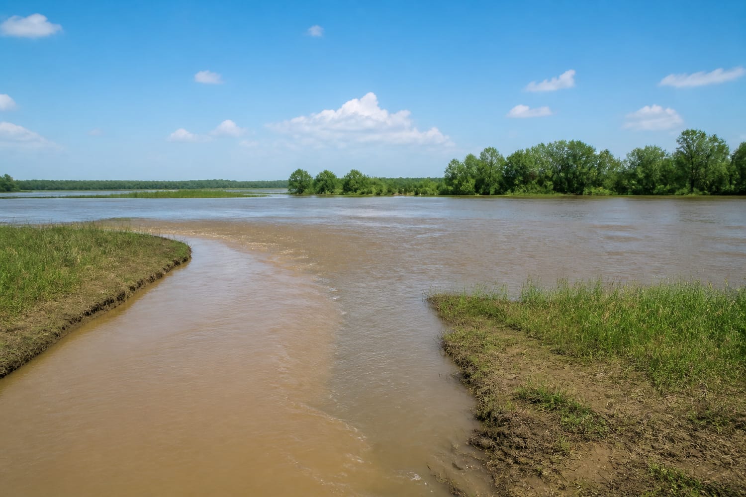
Rivers do not exist independently. They meet tributaries, wetlands, lakes, and other rivers, creating a connected network in which high water in one location can affect flow somewhere else.
Imagine a small tributary entering a much larger river. Under normal conditions, the tributary drains freely into the main channel. During a major flood, however, the main river may rise above the tributary. Water then backs into the smaller channel, producing a temporary reversal.
This backwater effect is especially common across low-lying floodplains and deltas. It can spread water into marshes, abandoned channels, and forests, creating temporary habitats while also increasing flood risks for nearby communities.
Such shifting waterways are part of the same natural creativity that produces river-cut gorges and remarkably precise natural bridges. Flowing water does not merely pass through a landscape—it continually rebuilds it.
The Seasonal Reversal of the Tonlé Sap River
Cambodia’s Tonlé Sap River offers one of the most important seasonal reversals on Earth. During the dry season, water flows from Tonlé Sap Lake through the river and into the Mekong system.
The pattern changes when monsoon rains and snowmelt dramatically raise the Mekong. Water pressure at the junction becomes strong enough to reverse the Tonlé Sap River, sending Mekong water into the lake. The lake expands across surrounding forests and floodplains, creating extensive feeding and breeding grounds for fish.
When Mekong levels fall, the river changes direction again and the lake begins draining. The cycle supports fisheries, agriculture, wildlife, and communities across Cambodia. Its ecological importance is so great that the Mekong River Commission includes the natural reverse flow of the Tonlé Sap in its regional water-management framework.
Earthquakes Can Disturb a River’s Slope
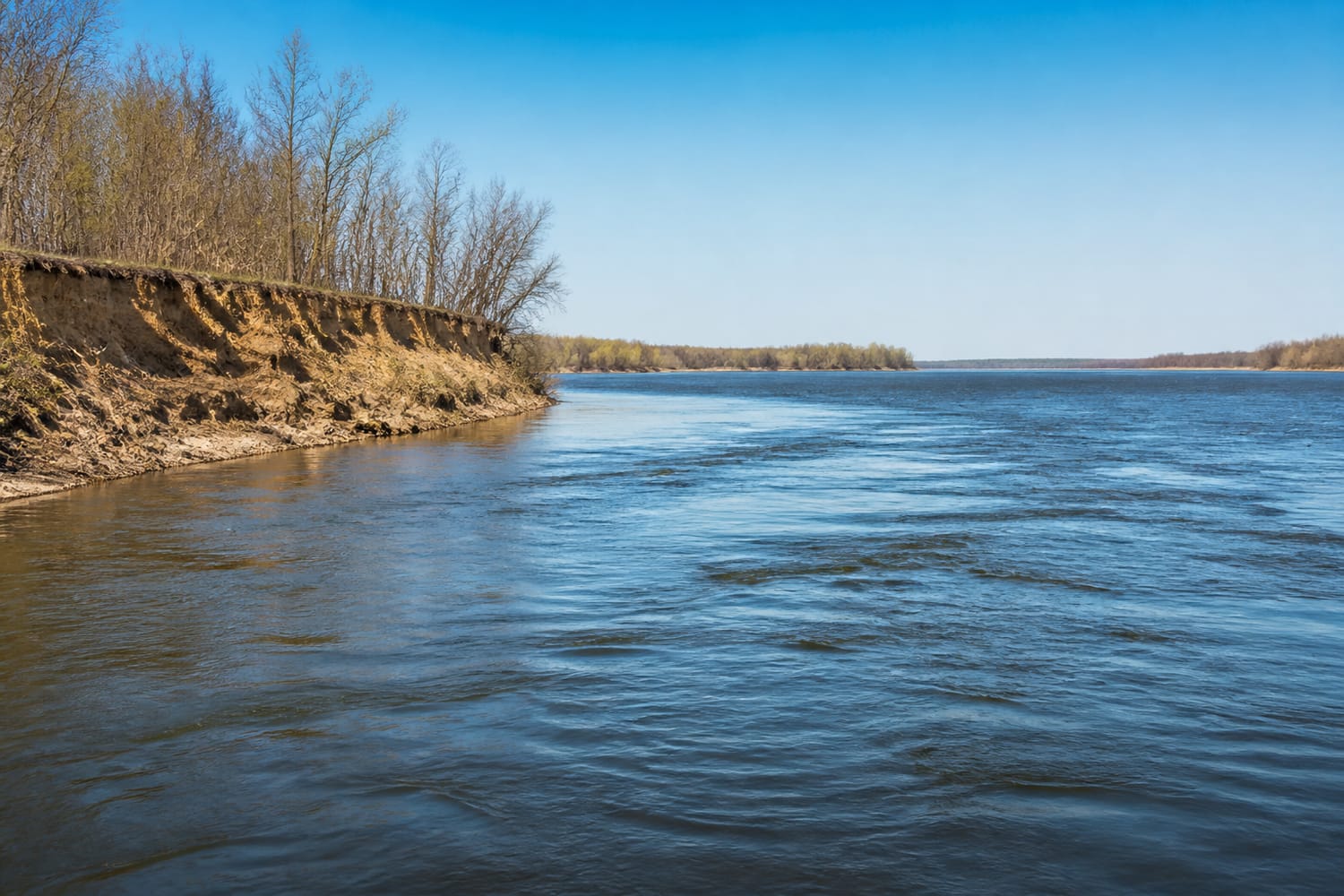
The New Madrid earthquakes of 1811 and 1812 produced some of North America’s most famous stories of backward-flowing water. Violent shaking affected the Mississippi River region, causing riverbanks to collapse, land to sink, waves to travel through the channel, and sections of the landscape to deform.
Contemporary accounts described the Mississippi appearing to run backward. This was probably a complex, short-lived combination of displaced water, ground movement, temporary obstructions, and powerful waves—not a permanent reversal of the river from mouth to source.
Earthquakes can also create landslides that dam a channel. Water collects behind the blockage and may spill into a different valley, establishing a new outlet. If the new route is lower and easier to erode, the altered drainage pattern can become permanent.
Glaciers and Mountains Rewrite the Map
The most lasting reversals unfold over geological time. Advancing glaciers can bury valleys beneath ice and sediment, dam rivers, and create enormous lakes. When the ice retreats, the old outlet may remain blocked, forcing water into an entirely different watershed.
These processes helped reorganize many North American river systems during the Pleistocene. Glacial erosion and deposits reshaped drainage divides, while meltwater carved new channels. The same ice capable of producing some of Earth’s most extreme landscapes also redirected the movement of water across continents.
Mountain building can have an even greater effect. Geological evidence suggests that ancient Amazonian drainage once differed substantially from today’s eastward-flowing system. The rise of the Andes, combined with broad changes in the elevation of South America, helped reorganize the basin and establish the modern Amazon’s route to the Atlantic.
Another process, called stream capture, occurs when one river erodes into the headwaters of another. The more aggressive stream intercepts the flow, pulling water into its own basin and leaving abandoned valleys behind.
A River Is a Moving Balance
A backward-running river is not breaking the laws of nature. It is obeying them. Water always responds to the strongest available gradient, whether that gradient is created by gravity, pressure, tides, wind, floodwater, ice, or moving rock.
That is what makes river reversals so fascinating. A channel may look permanent on a map, yet its current reflects a constantly changing contest between land, water, weather, and time. Rivers are not fixed lines across the planet. They are living pathways—and sometimes those pathways point the other way.