
When a River Takes a Hidden Route
Some rivers vanish because they reach porous, soluble rock—usually limestone—and drain into sinkholes, fractures, or caves. The water continues flowing underground until geology forces it back toward the surface. It may reappear nearby or many miles away as a spring, cave opening, or entirely different-looking river.
This disappearing act is not a trick, and the water rarely stops moving. Instead, the river has entered a hidden drainage system shaped by chemistry, gravity, and thousands—or millions—of years of erosion.
The Landscape That Swallows Water
Vanishing rivers are most closely associated with karst landscapes. Karst forms where water gradually dissolves soluble bedrock, particularly limestone and dolomite, although marble, gypsum, and salt can produce similar features.
Rainwater absorbs carbon dioxide from the atmosphere and soil, creating a weak carbonic acid. This slightly acidic water slips into joints and cracks in the rock. Over long periods, it enlarges them into passages, shafts, sinkholes, and caves.
The result is a landscape with two interconnected levels. Above ground, there may be dry valleys, rocky depressions, and surprisingly few streams. Below ground, water travels through anything from hairline fractures to enormous caverns. The National Park Service’s guide to karst landscapes explains how these dissolved openings create sinking streams, caves, and springs.
Water also shapes dramatic formations after it returns to daylight. Similar erosional forces help create the natural bridges and rock arches found around the world, although those structures can involve wind, waves, and weathering as well as flowing water.
How a River Disappears
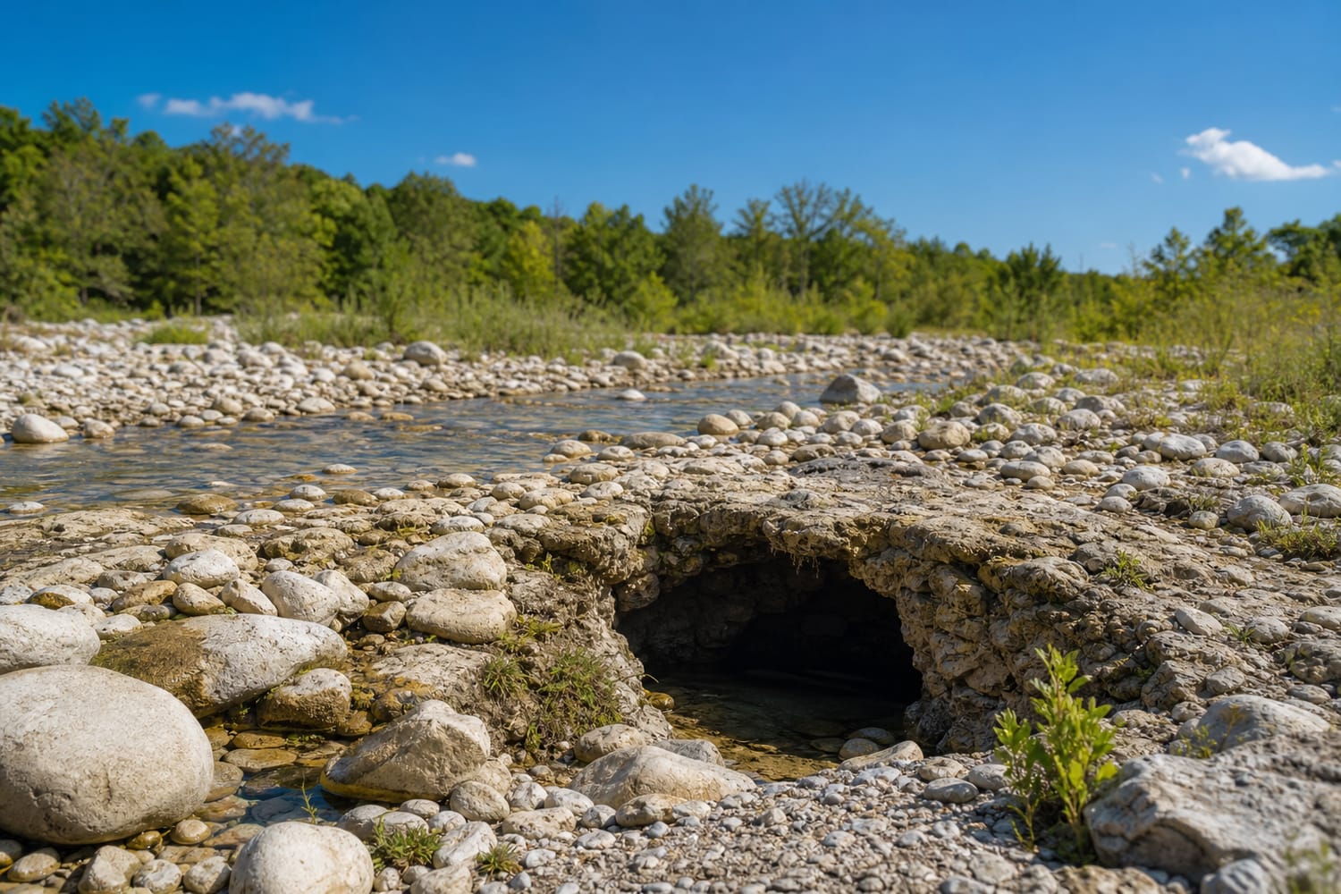
A river can enter the ground gradually or vanish at one obvious location. In some places, water seeps through a gravelly riverbed until the channel becomes dry. Elsewhere, the entire current pours into a dark opening.
The main entry points include:
- Sinkholes: Depressions that channel surface water underground
- Swallow holes or swallets: Openings where a stream sinks beneath the surface
- Fractures: Cracks that widen as soluble rock dissolves
- Cave entrances: Passages large enough to accept part or all of a river
- Permeable sediment: Sand or gravel that allows water to sink below a dry-looking channel
The river’s behavior can change with the weather. During a dry season, all its water may disappear. After heavy rain, the underground passages may fill, forcing excess water to continue along the surface channel. A “lost” river can therefore return temporarily before vanishing again.
What Happens Below the Surface
The phrase “underground river” often suggests a broad stream rushing through a cathedral-sized cave. Such rivers exist, but many subterranean waterways are less theatrical. Water may move through narrow conduits, flooded passages, interconnected cracks, or porous layers that no person could enter.
Underground routes can also divide and reconnect. One branch may emerge at a spring while another continues deeper into the aquifer. Because karst drainage does not always follow the visible slope of the land, the water may cross beneath surface watersheds and reappear somewhere unexpected.
Its speed varies considerably. Water moves slowly through tiny pores but can race through open cave passages after a storm. These rapid connections make karst aquifers productive sources of freshwater, yet they also make them vulnerable. Pollution entering a swallow hole can travel underground with far less natural filtration than water passing gradually through thick soil.
Where the Water Reappears
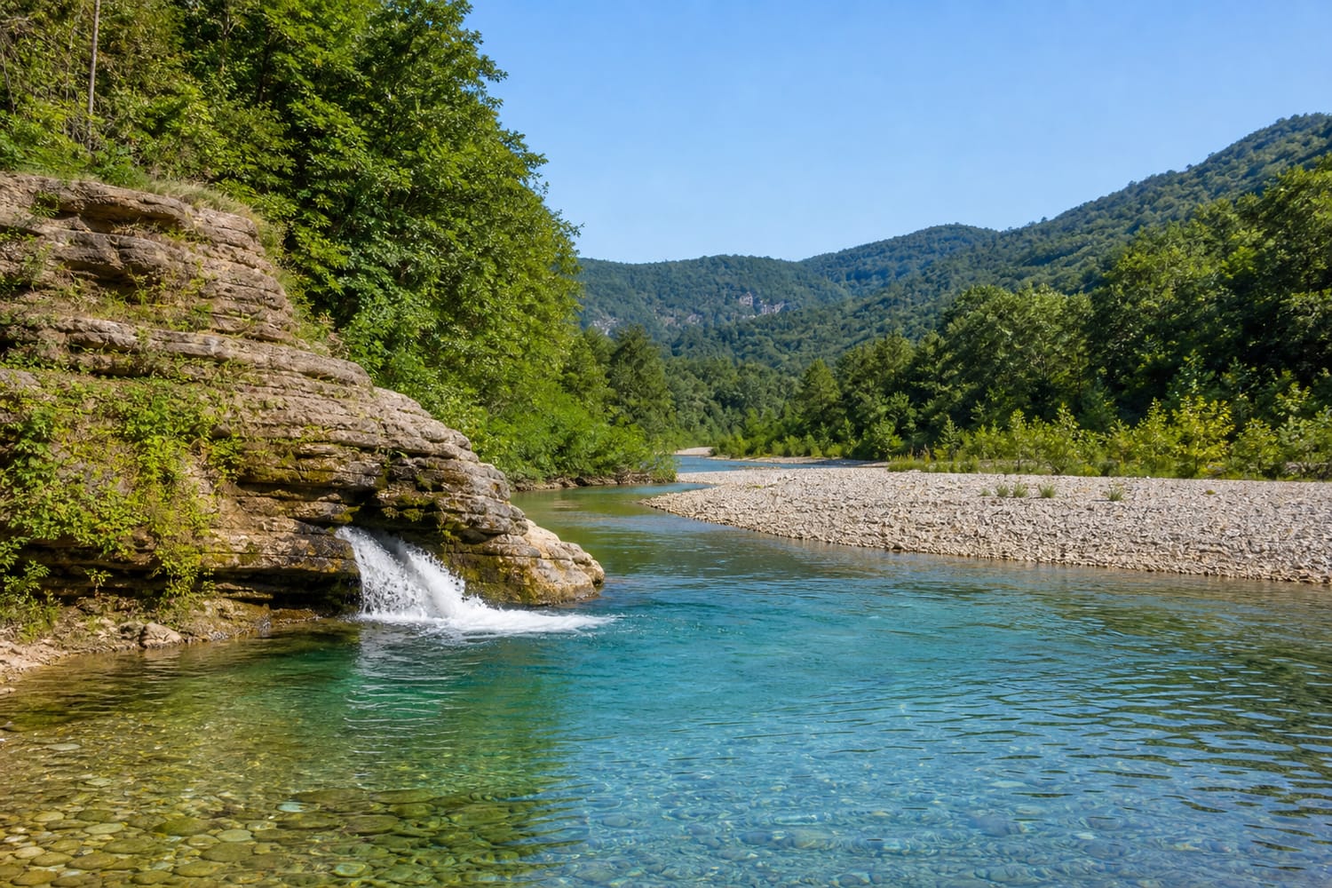
Eventually, the underground flow encounters conditions that drive it back into daylight. An impermeable rock layer may block its descent, a valley may cut into the water table, or a cave passage may simply open through a hillside.
The return point is commonly called a spring, resurgence, or rise. Some resurgences are gentle pools, while others release enough water to form a substantial river immediately.
Geologists cannot safely assume that the nearest spring contains the missing water. To map hidden connections, researchers often use dye tracing. A small quantity of detectable, environmentally appropriate dye is introduced where a stream sinks. Scientists then monitor nearby springs, wells, and rivers to discover where—and how quickly—the dye appears. This technique has helped researchers understand the complex underground waterways around Mammoth Cave National Park.
Famous Rivers With Secret Journeys
Southern Indiana’s Lost River offers a classic American example. It sinks into the region’s limestone terrain, follows subterranean routes, and returns at rises and springs. Its watershed contains numerous caves, sinkholes, and underground streams, making the river’s name unusually literal.
At Mammoth Cave in Kentucky, water entering sinkholes south of the national park flows through caves beneath the plateau before emerging from springs along the Green River. The famous cave system is therefore not merely a collection of dry chambers; it is part of an active drainage network.
Slovenia’s Ljubljanica belongs to a karst system traditionally described as the “river of seven names.” Sections repeatedly sink and reappear across the landscape, receiving different names along the way. This region helped give the word karst international geological significance.
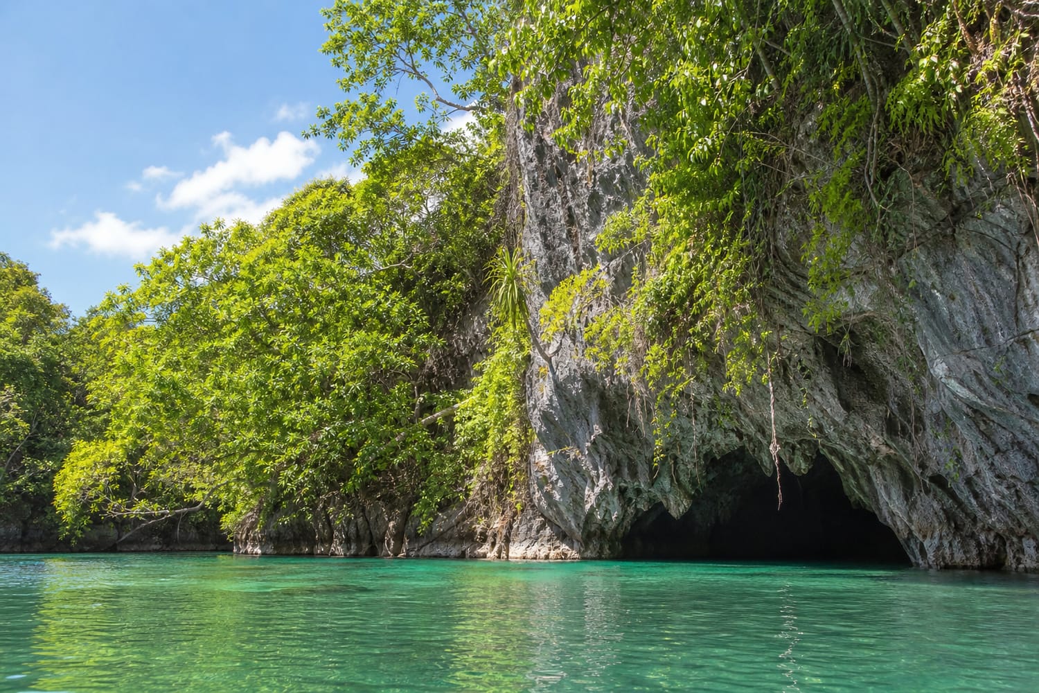
In the Philippines, the river at Puerto-Princesa Subterranean River National Park follows an 8.2-kilometer underground course through limestone before flowing directly into the sea. Its lower section is influenced by ocean tides, creating an unusual meeting place between freshwater, cave, forest, and marine environments.
Not Every “Lost” River Is Underground
A dry channel does not automatically indicate a hidden cave system. Rivers can appear to vanish for several other reasons.
In deserts, water may evaporate or soak into loose sediment faster than it is replenished. Some rivers end in wetlands, inland basins, or salt flats rather than reaching an ocean. Others have been diverted for irrigation, reservoirs, or urban water supplies.
Subsurface flow through sand and gravel is also different from a true karst river. The water remains underground, but it may spread through sediment instead of following recognizable cave passages. This groundwater can later support springs and life-sustaining desert oases.
Why These Rivers Matter
Disappearing rivers reveal that a landscape’s visible waterways are only part of its plumbing. The dry ground beneath a traveler’s feet may conceal rushing water, flooded caves, rare wildlife, and freshwater reserves used by entire communities.
They also demonstrate why karst regions require careful protection. Waste, chemicals, and contaminated runoff entering a sinkhole may reach springs quickly. Because the route is hidden, identifying the source of pollution can be difficult.
For travelers, the safest way to experience these places is through established trails, overlooks, caves, and guided tours. Sinkholes can have unstable edges, while underground streams may rise rapidly after rainfall. Never enter an unfamiliar cave or dry channel simply to discover where the river went.
A vanishing river does not reach the end of its journey when it disappears. It merely leaves the visible map, follows the architecture of the rock, and waits for the landscape to offer another doorway into daylight.